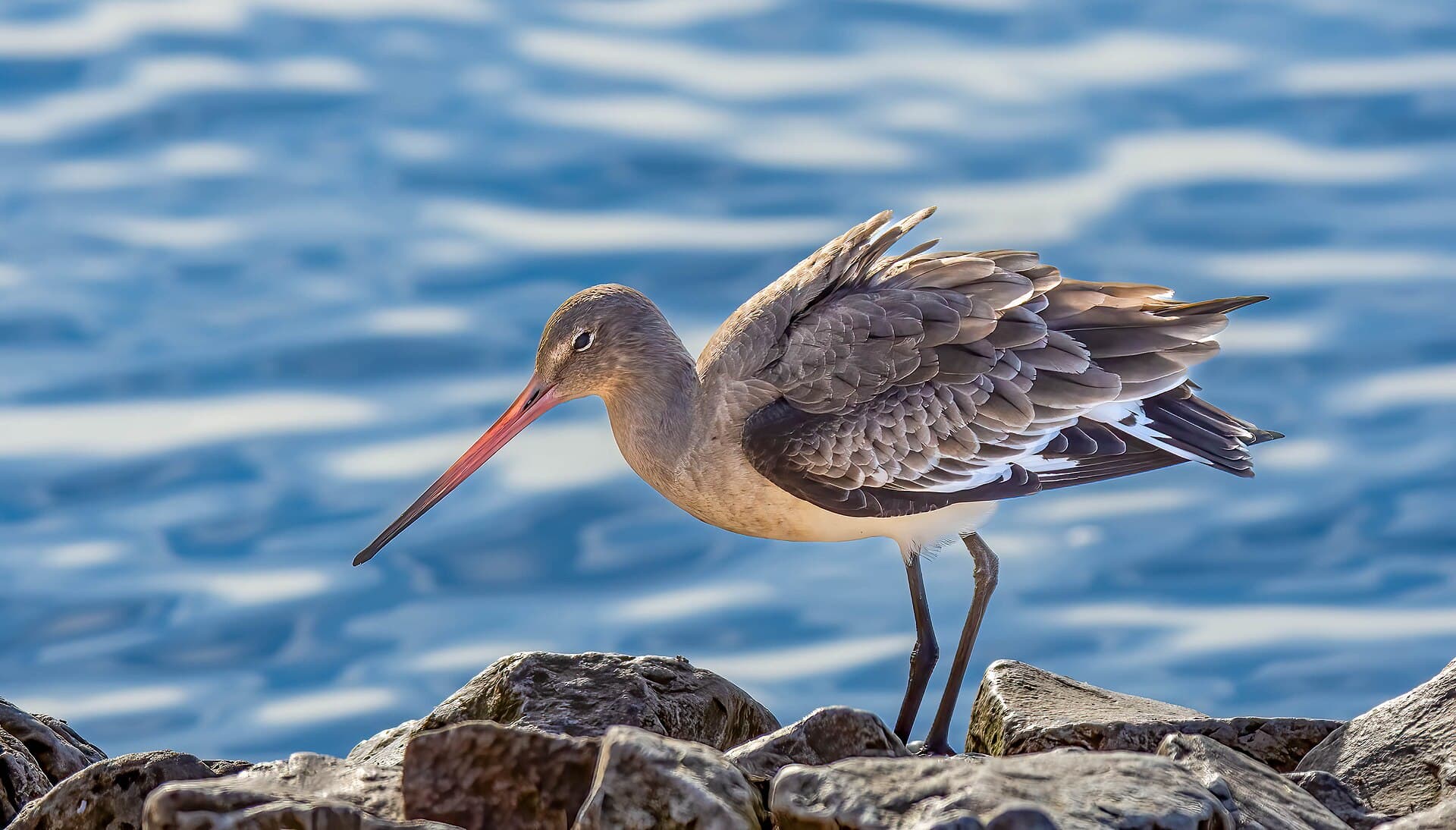
Where to see BTGO
Limosa limosa · Monthly patterns and locations based on open observation data.
- locations with data
- 67
- GBIF counts
- 3,241,965
- family
- Scolopacidae
The strongest months in the historical data are March, April and June.
Monthly pattern
Monthly totals
Jan
Feb
Mar
Apr
May
Jun
Jul
Aug
Sept
Oct
Nov
Dec
Locations with sufficient data
- BiesboschNoord-Brabant1,864,438 GBIF counts
- WaddenzeeFriesland183,832 GBIF counts
- LauwersmeerGroningen176,645 GBIF counts
- OosterscheldeZeeland155,660 GBIF counts
- OostvaardersplassenFlevoland147,832 GBIF counts
- ArkemheenGelderland145,276 GBIF counts
- Polder ZeevangNoord-Holland119,888 GBIF counts
- RijntakkenGelderland93,984 GBIF counts
- Hollands DiepNoord-Brabant38,765 GBIF counts
- IJsselmeerFriesland35,799 GBIF counts
- NoordzeekustzoneNoord-Holland32,767 GBIF counts
- GrevelingenZeeland32,565 GBIF counts
- Westerschelde & SaeftingheZeeland27,822 GBIF counts
- VeluweGelderland21,221 GBIF counts
- VoordeltaZeeland9,140 GBIF counts
- VeluwerandmerenFlevoland8,606 GBIF counts
- Duinen Den Helder-CallantsoogNoord-Holland6,509 GBIF counts
- Abtskolk & De PuttenNoord-Holland5,437 GBIF counts
- Vlakte van de RaanZeeland5,135 GBIF counts
- Veerse MeerZeeland3,483 GBIF counts
- Duinen AmelandFriesland3,327 GBIF counts
- Schoorlse DuinenNoord-Holland3,296 GBIF counts
- Krammer-VolkerakZuid-Holland2,990 GBIF counts
- Drentsche Aa-gebiedDrenthe48,514 GBIF counts
- Oostelijke VechtplassenNoord-Holland27,231 GBIF counts
- Ketelmeer & VossemeerOverijssel1,935 GBIF counts
- Duinen SchiermonnikoogFriesland368 GBIF counts
- Duinen en Lage Land TexelNoord-Holland1,149 GBIF counts
- Duinen TerschellingFriesland1,148 GBIF counts
- ZouweboezemUtrecht11,070 GBIF counts
- Noordhollands DuinreservaatNoord-Holland7,962 GBIF counts
- Markermeer & IJmeerNoord-Holland4,250 GBIF counts
- MarkiezaatNoord-Brabant366 GBIF counts
- Kennemerland-ZuidNoord-Holland252 GBIF counts
- SneekermeergebiedFriesland2,944 GBIF counts
- Oudegaasterbrekken, Fluessen en omgevingFriesland2,027 GBIF counts
- Ilperveld, Varkensland, Oostzanerveld & TwiskeNoord-Holland1,074 GBIF counts
- ZuidlaardermeergebiedGroningen977 GBIF counts
- LepelaarplassenFlevoland586 GBIF counts
- Loonse en Drunense Duinen & LeemkuilenNoord-Brabant1,275 GBIF counts
- Meijendel & BerkheideZuid-Holland635 GBIF counts
- Groote PeelNoord-Brabant968 GBIF counts
- Voornes DuinZuid-Holland1,013 GBIF counts
- De WiedenOverijssel256 GBIF counts
- Rottige Meenthe & BrandemeerFriesland216 GBIF counts
- Oudeland van StrijenZuid-Holland196 GBIF counts
- Alde FeanenFriesland84 GBIF counts
- LeekstermeergebiedDrenthe139 GBIF counts
- Donkse LaagtenZuid-Holland202 GBIF counts
- NaardermeerNoord-Holland134 GBIF counts
- Duinen Goeree & Kwade HoekZuid-Holland13 GBIF counts
- Boezems KinderdijkZuid-Holland67 GBIF counts
- Vecht- en Beneden-ReggegebiedOverijssel65 GBIF counts
- Duinen VlielandFriesland13 GBIF counts
- Yerseke en Kapelse MoerZeeland54 GBIF counts
- Zwarte MeerFlevoland36 GBIF counts
- Polder WestzaanNoord-Holland58 GBIF counts
- Zwanenwater & PettemerduinenNoord-Holland36 GBIF counts
- DwingelderveldDrenthe26 GBIF counts
- Groote WielenFriesland17 GBIF counts
- BinnenveldGelderland19 GBIF counts
- Kempenland-WestNoord-Brabant27 GBIF counts
- Vlijmens Ven, Moerputten & Bossche BroekNoord-Brabant16 GBIF counts
- Sallandse HeuvelrugOverijssel13 GBIF counts
- Kop van SchouwenZeeland10 GBIF counts
- Broekvelden, Vettenbroek & Polder SteinZuid-Holland5 GBIF counts
- Wierdense VeldOverijssel7 GBIF counts
Data source
Counts are aggregated from open observation data supplied through GBIF. They indicate historical reporting patterns, not guaranteed current presence. Last processed: 28 July 2026.