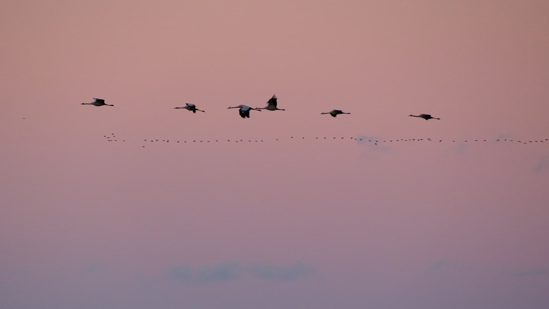
Where to see COCR
Grus grus · Monthly patterns and locations based on open observation data.
- locations with data
- 68
- GBIF counts
- 236,737
- family
- Gruidae
The strongest months in the historical data are March, November and February.
Monthly pattern
Monthly totals
Jan
Feb
Mar
Apr
May
Jun
Jul
Aug
Sept
Oct
Nov
Dec
Locations with sufficient data
- RijntakkenGelderland35,678 GBIF counts
- Groote PeelNoord-Brabant34,998 GBIF counts
- BiesboschNoord-Brabant17,283 GBIF counts
- VeluweGelderland10,642 GBIF counts
- FochteloërveenDrenthe7,385 GBIF counts
- DwingelderveldDrenthe6,932 GBIF counts
- Sallandse HeuvelrugOverijssel1,516 GBIF counts
- Drentsche Aa-gebiedDrenthe1,347 GBIF counts
- OosterscheldeZeeland1,225 GBIF counts
- HoltingerveldDrenthe582 GBIF counts
- WaddenzeeFriesland484 GBIF counts
- OostvaardersplassenFlevoland433 GBIF counts
- GrevelingenZeeland511 GBIF counts
- Buurserzand & HaaksbergerveenOverijssel279 GBIF counts
- Leenderbos, Groote Heide & De PlateauxNoord-Brabant5,737 GBIF counts
- Loonse en Drunense Duinen & LeemkuilenNoord-Brabant2,108 GBIF counts
- Oostelijke VechtplassenNoord-Holland1,217 GBIF counts
- MeinwegLimburg37,511 GBIF counts
- RoerdalLimburg14,615 GBIF counts
- MaasduinenLimburg14,478 GBIF counts
- Strabrechtse Heide & BeuvenNoord-Brabant4,527 GBIF counts
- VoordeltaZeeland977 GBIF counts
- Westerschelde & SaeftingheZeeland819 GBIF counts
- LauwersmeerGroningen265 GBIF counts
- BoschhuizerbergenLimburg12,112 GBIF counts
- Hollands DiepNoord-Brabant748 GBIF counts
- NoordzeekustzoneNoord-Holland178 GBIF counts
- LeudalLimburg17,113 GBIF counts
- Krammer-VolkerakZuid-Holland125 GBIF counts
- Kampina & Oisterwijkse VennenNoord-Brabant525 GBIF counts
- Noordhollands DuinreservaatNoord-Holland146 GBIF counts
- Deurnsche Peel & MariapeelNoord-Brabant255 GBIF counts
- Meijendel & BerkheideZuid-Holland543 GBIF counts
- Sarsven en De BanenLimburg327 GBIF counts
- Vecht- en Beneden-ReggegebiedOverijssel86 GBIF counts
- VeluwerandmerenFlevoland275 GBIF counts
- KorenburgerveenGelderland184 GBIF counts
- Kennemerland-ZuidNoord-Holland341 GBIF counts
- Solleveld & KapittelduinenZuid-Holland166 GBIF counts
- BargerveenDrenthe57 GBIF counts
- NaardermeerNoord-Holland299 GBIF counts
- ArkemheenGelderland71 GBIF counts
- Ilperveld, Varkensland, Oostzanerveld & TwiskeNoord-Holland183 GBIF counts
- WitterveldDrenthe35 GBIF counts
- Voornes DuinZuid-Holland61 GBIF counts
- Zwarte MeerFlevoland79 GBIF counts
- Kempenland-WestNoord-Brabant91 GBIF counts
- De WiedenOverijssel47 GBIF counts
- AamsveenOverijssel96 GBIF counts
- IJsselmeerFriesland79 GBIF counts
- ZouweboezemUtrecht33 GBIF counts
- Wierdense VeldOverijssel20 GBIF counts
- BrunssummerheideLimburg85 GBIF counts
- Landgoederen BrummenGelderland26 GBIF counts
- MarkiezaatNoord-Brabant18 GBIF counts
- Vlijmens Ven, Moerputten & Bossche BroekNoord-Brabant68 GBIF counts
- Ketelmeer & VossemeerOverijssel21 GBIF counts
- Wooldse VeenGelderland22 GBIF counts
- Duinen Den Helder-CallantsoogNoord-Holland13 GBIF counts
- Duinen VlielandFriesland6 GBIF counts
- MantingerzandDrenthe7 GBIF counts
- LepelaarplassenFlevoland17 GBIF counts
- DinkellandOverijssel8 GBIF counts
- BorkeldOverijssel5 GBIF counts
- SavelsbosLimburg7 GBIF counts
- Schoorlse DuinenNoord-Holland14 GBIF counts
- ZuidlaardermeergebiedGroningen8 GBIF counts
- Regte Heide & Riels LaagNoord-Brabant5 GBIF counts
Data source
Counts are aggregated from open observation data supplied through GBIF. They indicate historical reporting patterns, not guaranteed current presence. Last processed: 28 July 2026.